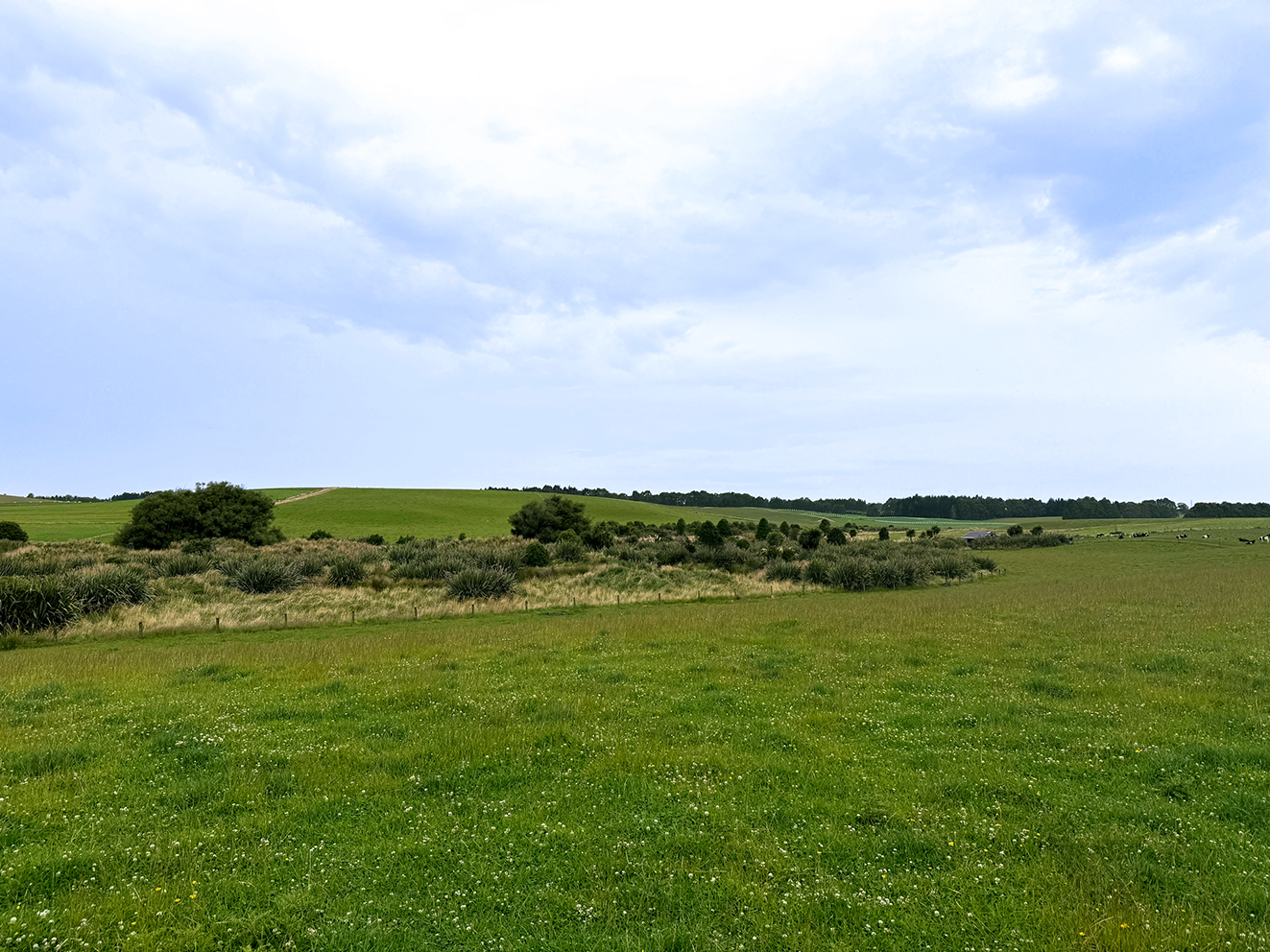
Carbon removal not only comes from exotic trees such as pines. It also comes from native trees and scrub.
In almost all cases - native trees deliver better biodiversity, water quality, land stability and lower fire risk.
Carbonfields will help identify these qualifying areas of bush and assess and deliver the revenue for farmers.
What we do for farmers:
We are a one-stop shop and do the lot for you.
Carbonfields help farmers unlock income from the native regeneration and forestry already growing on their land.
We manage the entire ETS process — from identifying eligible areas and completing registration, through to ongoing administration and annual reporting — making it straightforward for landowners to participate without the complexity.
Our role is to provide practical advice, clear communication, and long-term support so farmers can confidently turn under-utilised land into a valuable asset for the future.
We assess the eligibility of the land
1
2
3
Apply and register with the governing bodies
Manage the certified carbon credits
4
Arrange the sale of your NZU’s
Boost farm earnings and value with long-term contracted revenue.
The technology used has successfully measured and registered close to 400 farms in New Zealand, with annual incomes ranging from $10k to over $300k per year.
What Qualifies:
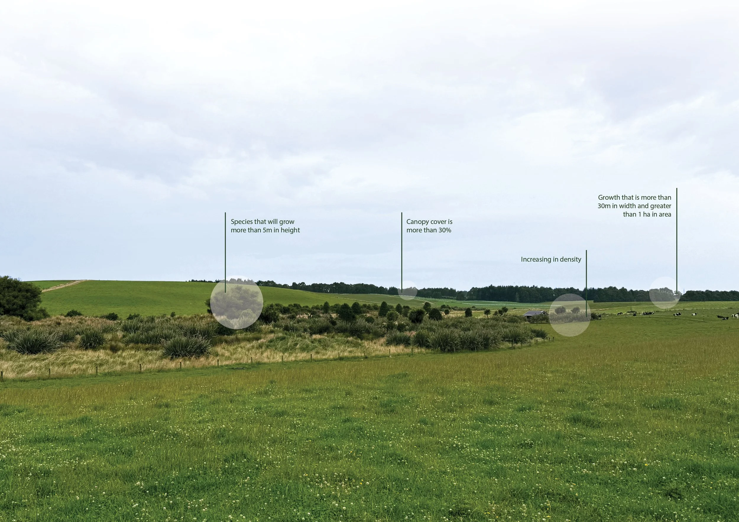
Native, exotics and emerging scrub.
This has to have grown post 1989.
Trees that will grow to over 5m.
Areas that are 1 ha or more, with an average width of 30m.
Scattered areas of bush do count - we can accumulate 1 ha here, 2 ha there, 3 ha etc in a different area.
Ideally, we need to accumulate 20 ha or more.
How we qualify your farm:
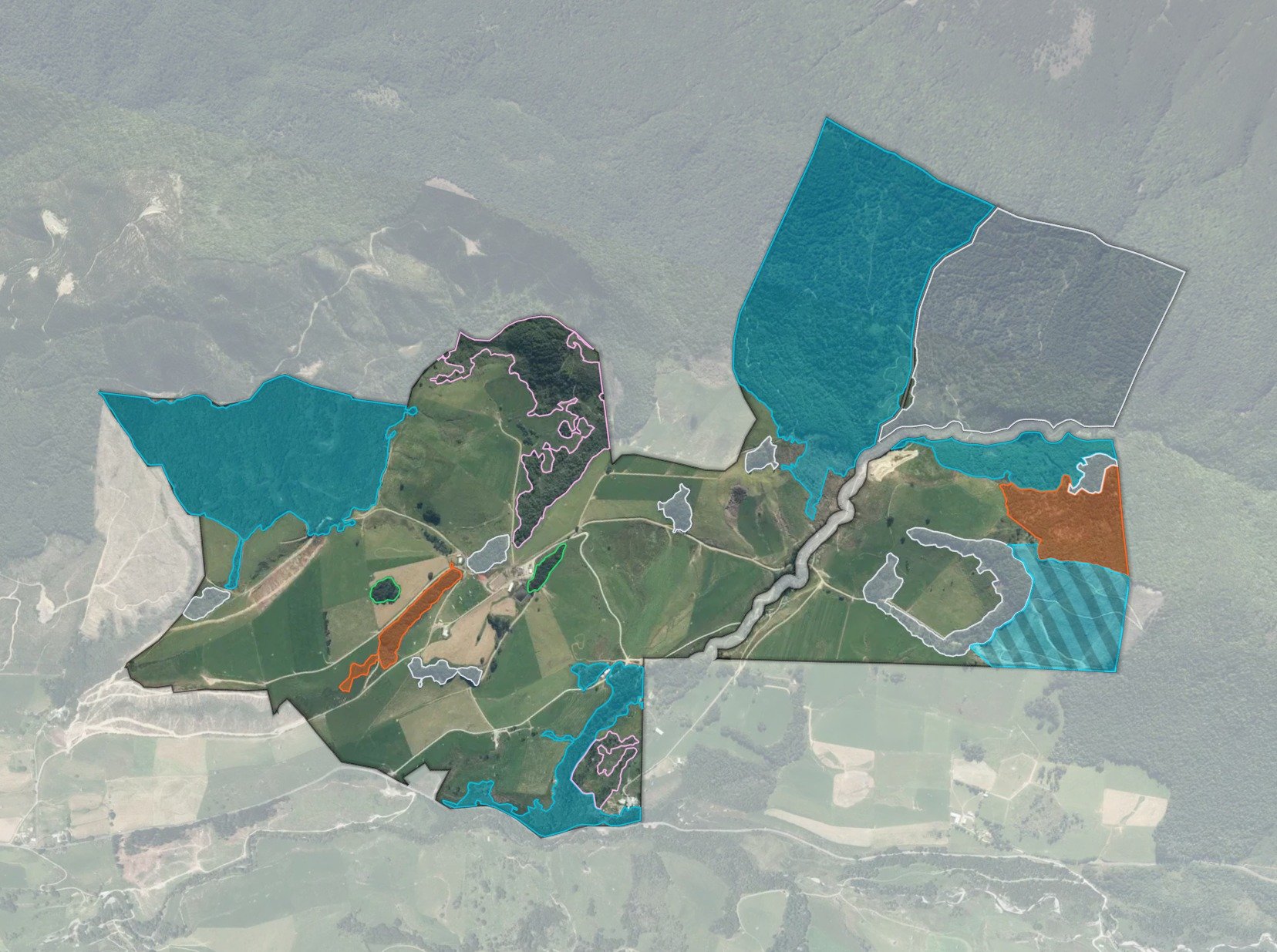
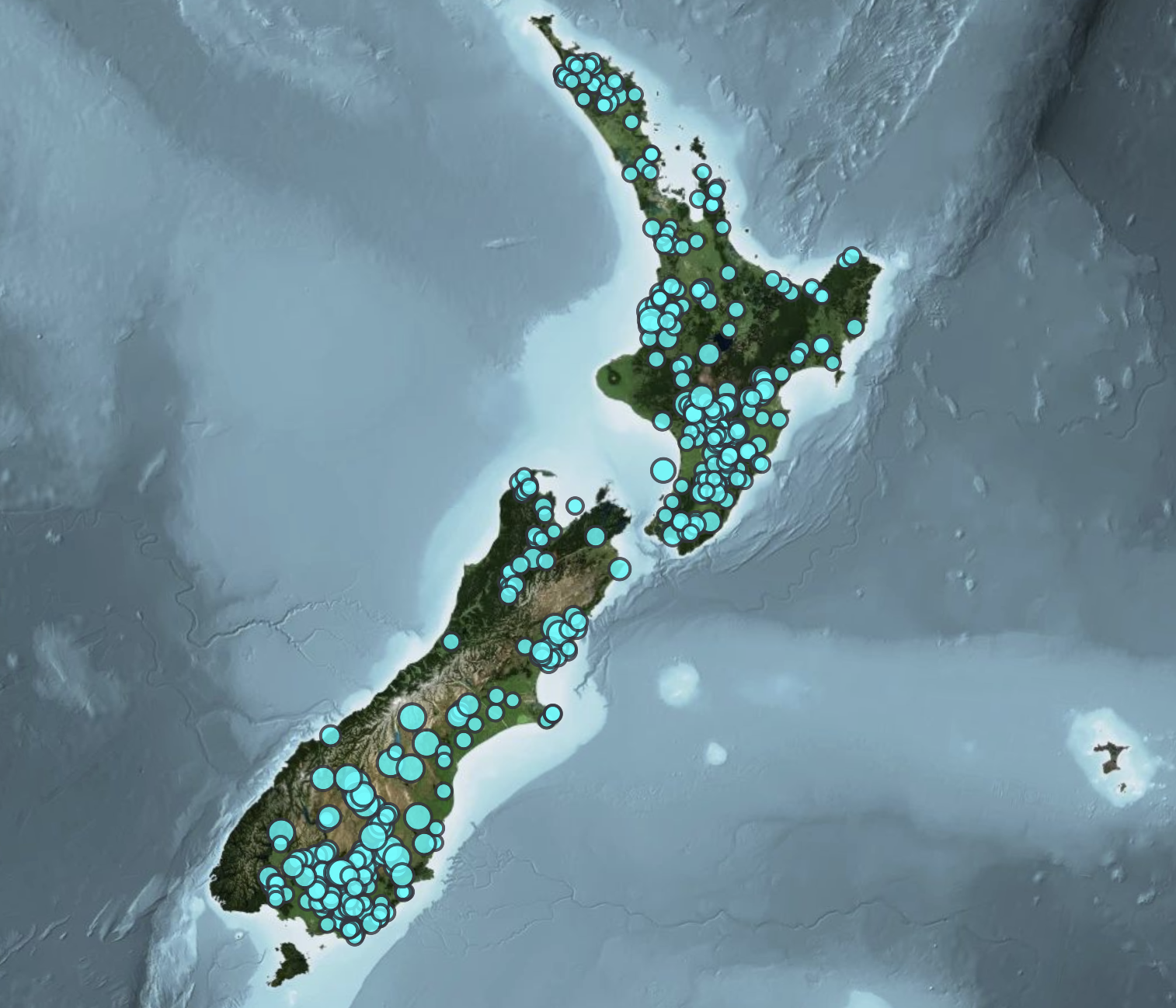

Carbonfields combines modern mapping technology with detailed historical analysis to identify native regeneration and forestry that may qualify for the ETS. Using satellite imagery, aerial photography, LiDAR and machine learning tools, we remotely assess vegetation across the farm and identify areas with potential eligibility. Our team then manually reviews historical imagery and land-use records — often dating back decades — to confirm regeneration history and ensure the land meets ETS requirements.
We map and measure qualifying forest, estimate carbon sequestration, and manage the registration process with MPI. Once registered, eligible land can earn NZUs annually, creating a long-term income stream from forest already growing on the property.
Carbonfields manages the process from start to finish, including mapping, registration, annual submissions and ongoing ETS administration.
Follow Us on Social